Agriculture
Precision from the sky
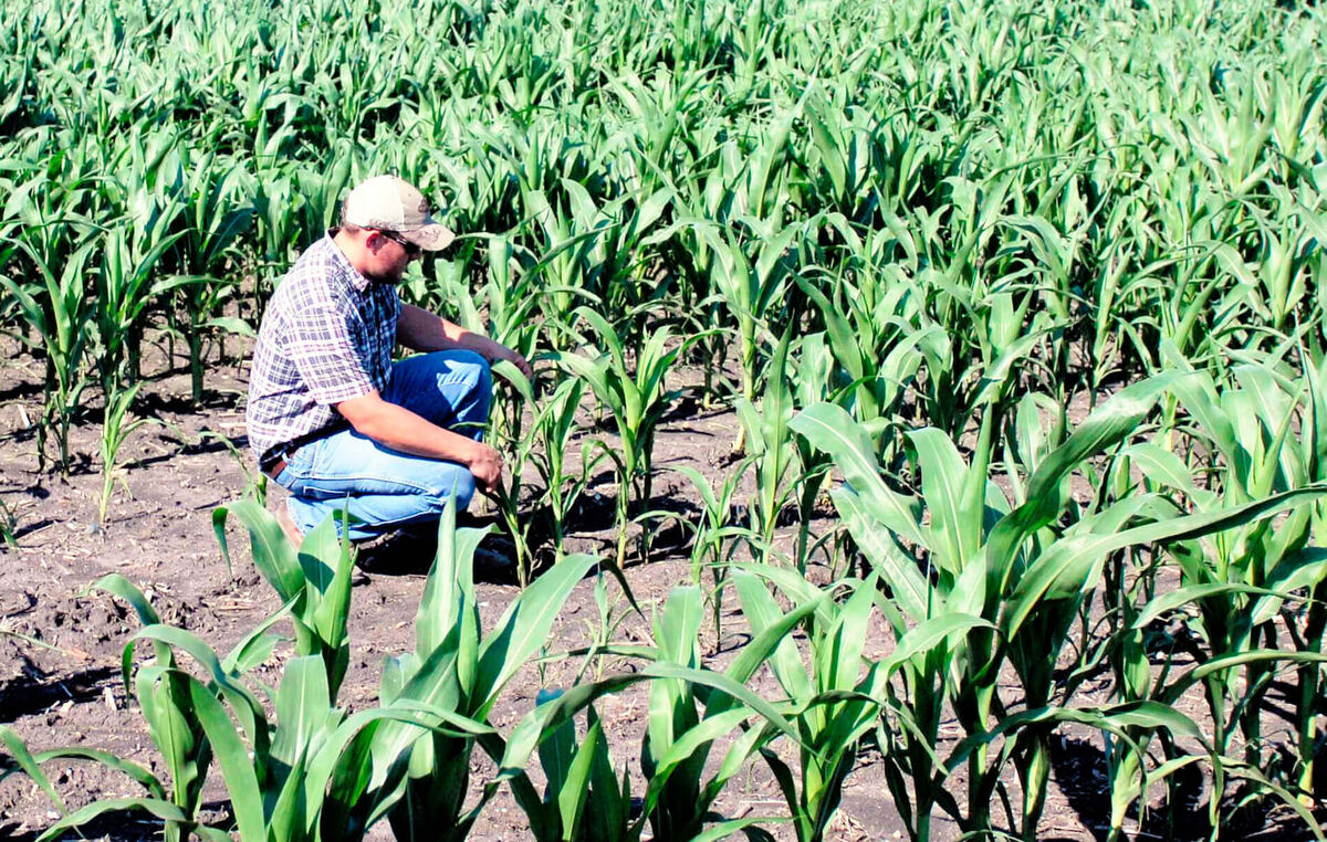
Multispectral crop monitoring, soil assessment, plant emergence and population counts, fertility and fertiliser targeting, irrigation and drainage planning, insurance documentation, and harvest planning.
A founding pillar, still flying
The largest drone fleet in East Africa, with permitting in place so we deploy at very short notice. Geo-corrected orthophotos down to 2.5 cm, 3D models and point clouds, and the GIS and processing pipeline to turn all of it into answers. This is where much of Africa met us first, and it remains core to what we do.
Have a site to survey, map or inspect?
Talk to us →Different sectors, one discipline: capture the site accurately, process it rigorously, and hand over something you can decide with.
Agriculture
Multispectral crop monitoring, soil assessment, plant emergence and population counts, fertility and fertiliser targeting, irrigation and drainage planning, insurance documentation, and harvest planning.
Mining, quarries & aggregates
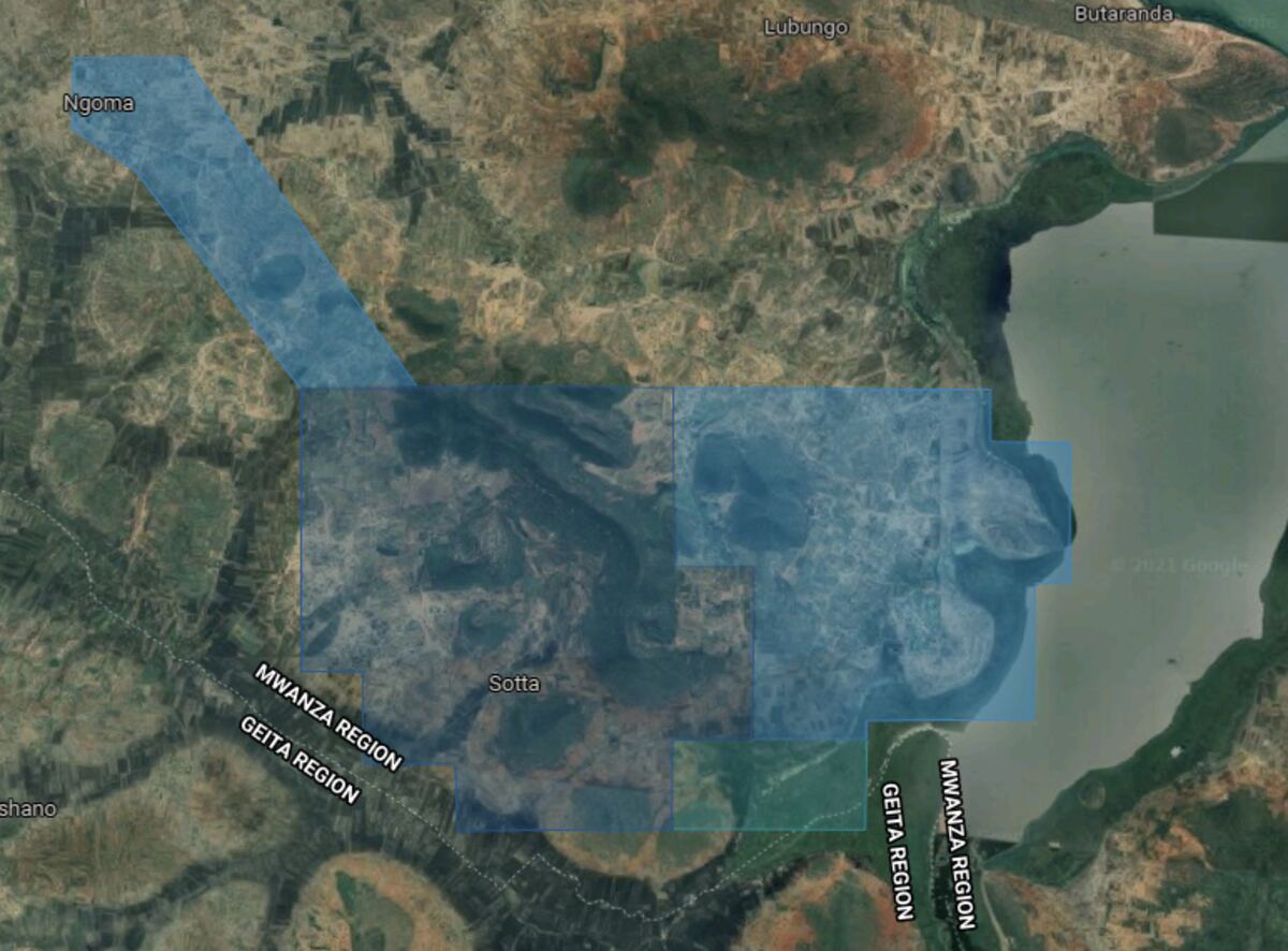
Stockpile inventory tracking, whole-site surveys in hours rather than days, haul-road and traffic planning, and repeatable volumetric analysis backed by the survey record.
Engineering & construction
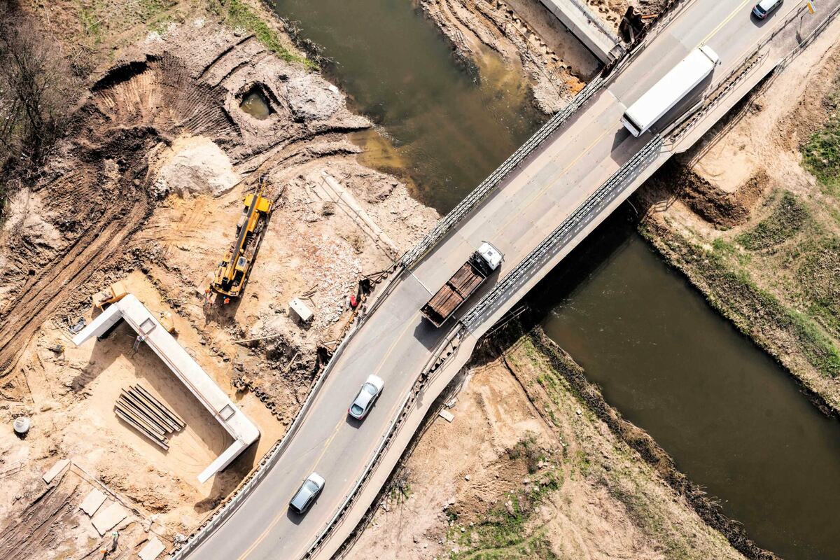
Cut-and-fill earthworks measurement, site progress monitoring, and safe inspection of linear assets: pipelines, power lines, rail and waterways.
Survey, mapping & inspection
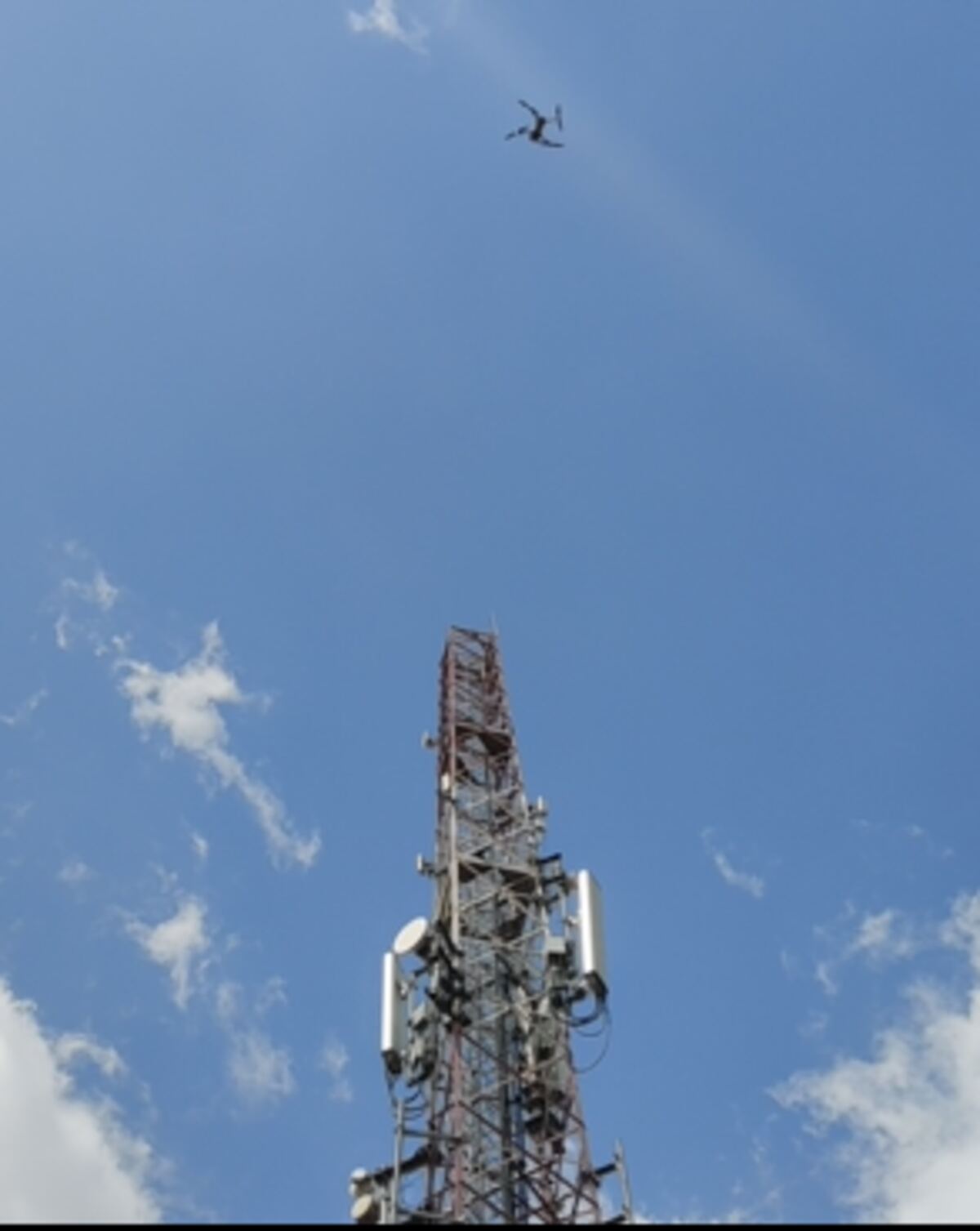
Orthophotos, terrain and surface models, and safe inspection of structures: bridges, dams, towers and industrial plant, without putting anyone in harm's way.
Anyone can fly a drone. The value is in what happens to the data afterwards, and that is where our GIS and processing heritage sits: a decade of open mapping, photogrammetry and geospatial analysis.
We are long-standing users and trainers across the leading open-source geospatial toolchain, alongside commercial software where it earns its place. We are tool-agnostic: the right software for the deliverable, not the other way round.
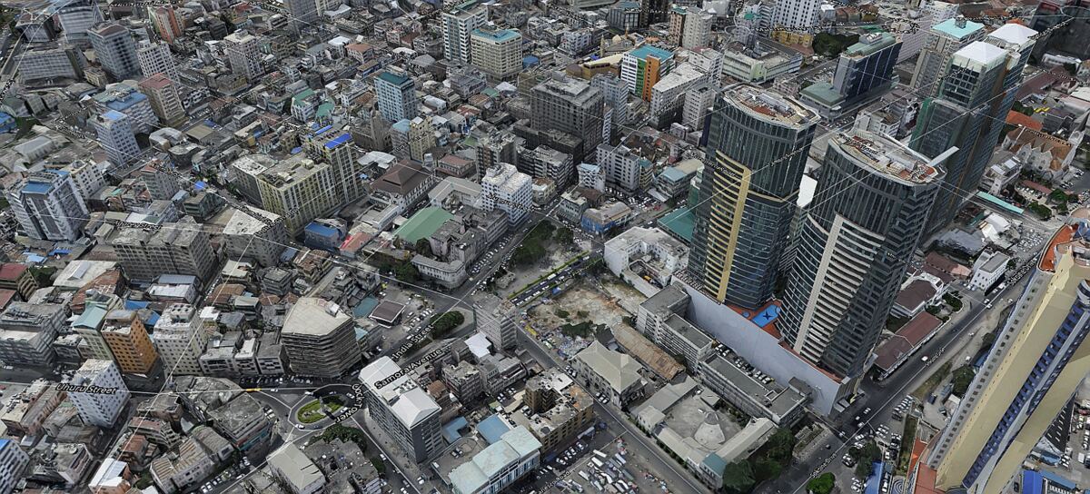
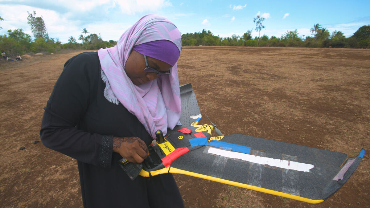
Open mapping · Zanzibar
We led the largest civilian drone-mapping exercise of its time: both islands, over 2,300 km² at centimetre resolution, producing 42 maps and 102 layers of open geospatial data and digitising more than 380,000 buildings, at roughly a tenth of the cost of the previous manned survey. We trained government surveyors and university students, several now working for the aviation authority and government. Recognised with a World Bank Presidential Award for Innovation. See the coverage →
Mining · Tanzania
Complete topographic survey of a Special Mining Licence area for land-use planning and compensation: 60 km² surveyed in 2 days, with AI building-footprint detection across the whole area.
Telecoms · nationwide
Ten pilots and fifteen drones inspected more than 800 cellular towers spread across all of Tanzania, covering 945,087 km² in twelve weeks, 2,500 flights and 34,000 images, work that would traditionally have taken over 18 months. Per-mast inspection fell from about six hours to under ten minutes.
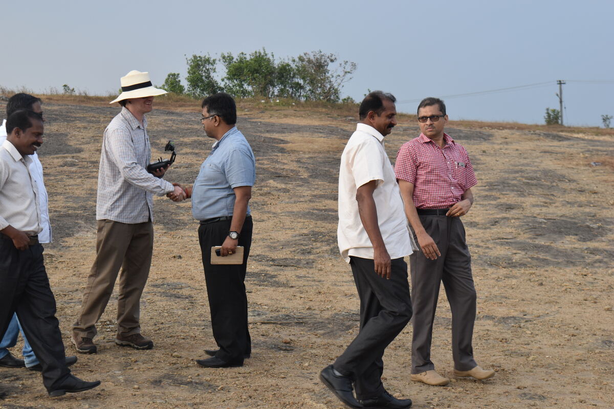
Training · Kerala, India
We have delivered mapping curricula on three continents, including a full open-source drone-mapping course in Kerala alongside the creator of a leading open-source mapping toolkit: flying, capture and processing, end to end.
Half the job is identifying the right tool. Fixed-wing for endurance and coverage, multirotor for detail and inspection.
Up to 90-minute flights covering as much as 500 ha in one go, at survey-grade 2 cm accuracy without ground control points. For mapping at scale.
All-weather, flexible across altitudes and wind conditions, for large-area capture in the field.
Vertical take-off and landing in a tight radius, with oblique imaging for full 3D reconstruction where there is no runway.
Long flight time, all-directional sensing, multiple simultaneous payloads and a weatherproofed body, for inspection and specialist sensors.
The fast-deploy, high-resolution site camera, in the air within minutes.
High-resolution RGB, multispectral, thermal and LiDAR payloads, chosen per mission, plus RTK/PPK base stations for precision.
One of the largest drone fleets and certified-pilot pools in East Africa, fixed-wing and multirotor, matched case by case. Pilot training and permit-application support available; we helped shape commercial drone regulation in Tanzania and have walked the licensing path many times.
Tell us what you need to see, measure or model. We deploy at short notice.
Uhurunet Technology (T) Limited · Uhurulabs
Acacia Estates Offices, 1st Floor, Plot 84 Kinondoni Road
PO Box 38568, Dar es Salaam, Tanzania